
What is a Wetland?
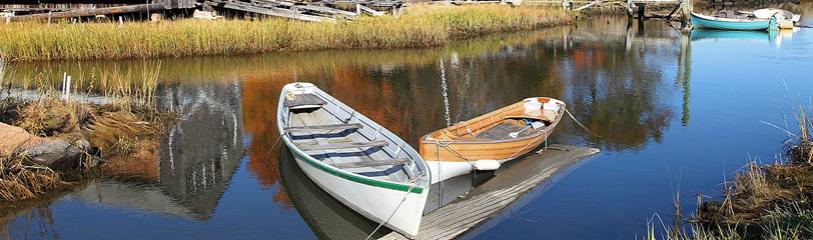
Legally, the term "wetland" includes not only areas we typically think of as wet lands, such as cattail marches or red maple swamps, but also intermittent streams, riverfronts, and other areas that may be dry for a significant portion of the year. The Act specifically regulates activities in or near "bordering vegetated wetlands (BVWs) - wet woods or meadows, marshes, swamps and bogs adjacent to water bodies. "Freshwater wetlands" include both Bordering and Isolated Vegetated Wetlands, supported by hydric soils, wetland vegetation and/or hydrologic conditions.
What is a floodplain?
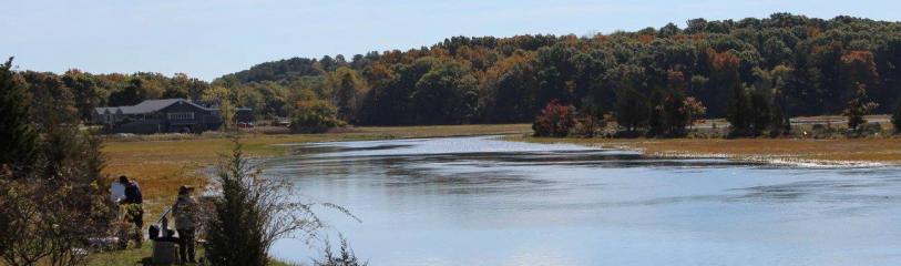
A floodplain is an area that experiences surface flooding following storms, prolonged rainfall or snowmelt. Three types of floodplain areas are protected under the state Act. The more common are coastal areas and those bordering rivers and streams that flood during the statistical or theoretical 100 year flood (that has a 1% chance of occurring in any year).
What other areas are protected?
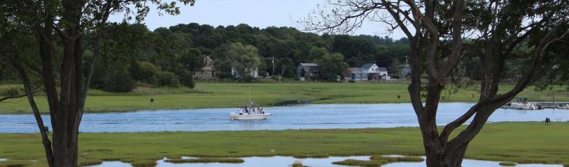
In addition to BVW's and floodplains, the Act also covers banks, dunes, beaches, vernal pools, land under lakes and ponds, and land under or within 200 feet of rivers and streams which flow year round. Many wetland resource areas are defined by the abundance of wetland plants and by their water regime or hydrology, with the latter sometimes determined by soil type. Riverfront resource areas are in most cases measured from the top of the bank of a river or stream.
Some of the information provided was taken from the MACC pamphlet "The Massachusetts Wetlands Protection Act" available in the Conservation Commission's office.